Cropland between Wood Road and the Leitrim Valley
Introduction
The photograph on this page of Cropland between Wood Road and the Leitrim Valley by Eric Jones as part of the Geograph project.
The Geograph project started in 2005 with the aim of publishing, organising and preserving representative images for every square kilometre of Great Britain, Ireland and the Isle of Man.

There are currently over 7.5m images from over 14,400 individuals and you can help contribute to the project by visiting https://www.geograph.org.uk
Cropland between Wood Road and the Leitrim Valley
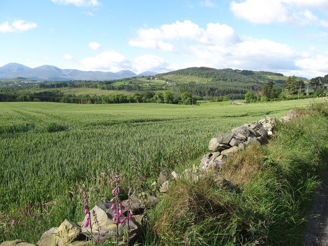
Image: © Eric Jones Taken: 7 Jun 2017
Beyond the valley are the hills of Curlets Mountain and Slievenaslat in the Castlewellan Forest Park. The high mountains in the background are The Mournes.
Images are licensed for reuse under creativecommons.org/licenses/by-sa/2.0
Image Location
Latitude
54.287622
Longitude
-5.936579