Stanely Reservoir: embankment
Introduction
The photograph on this page of Stanely Reservoir: embankment by Lairich Rig as part of the Geograph project.
The Geograph project started in 2005 with the aim of publishing, organising and preserving representative images for every square kilometre of Great Britain, Ireland and the Isle of Man.

There are currently over 7.5m images from over 14,400 individuals and you can help contribute to the project by visiting https://www.geograph.org.uk
Stanely Reservoir: embankment
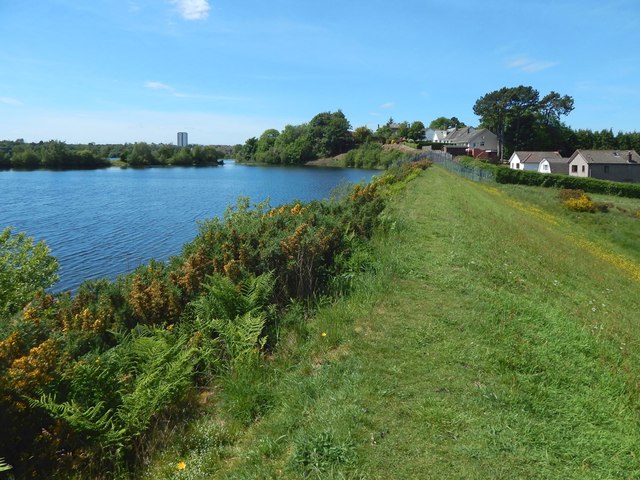
Image: © Lairich Rig Taken: 31 May 2017
The houses on the right are on Stanely Grove and Stanely Crescent. See also Image, photographed here on the same day. For more on the creation of the reservoir, see Image
Images are licensed for reuse under creativecommons.org/licenses/by-sa/2.0
Image Location
Latitude
55.825533
Longitude
-4.445885