Talavera Road
Introduction
The photograph on this page of Talavera Road by Bob Embleton as part of the Geograph project.
The Geograph project started in 2005 with the aim of publishing, organising and preserving representative images for every square kilometre of Great Britain, Ireland and the Isle of Man.

There are currently over 7.5m images from over 14,400 individuals and you can help contribute to the project by visiting https://www.geograph.org.uk
Talavera Road
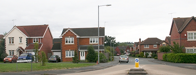
Image: © Bob Embleton Taken: 1 Sep 2007
Modern housing estate close to the old Norton Barracks. A rapidly growing satellite village to the city of Worcester.
Images are licensed for reuse under creativecommons.org/licenses/by-sa/2.0
Image Location
Latitude
52.162692
Longitude
-2.19322