Road leading to Royal Alexandria Hospital
Introduction
The photograph on this page of Road leading to Royal Alexandria Hospital by Lairich Rig as part of the Geograph project.
The Geograph project started in 2005 with the aim of publishing, organising and preserving representative images for every square kilometre of Great Britain, Ireland and the Isle of Man.

There are currently over 7.5m images from over 14,400 individuals and you can help contribute to the project by visiting https://www.geograph.org.uk
Road leading to Royal Alexandria Hospital
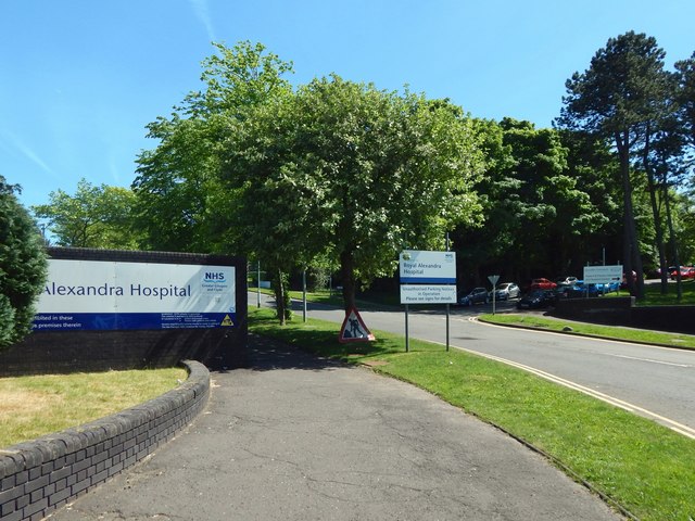
Image: © Lairich Rig Taken: 31 May 2017
Like an earlier picture taken in a different season, Image, the view is from Corsebar Road.
Images are licensed for reuse under creativecommons.org/licenses/by-sa/2.0
Image Location
Latitude
55.836253
Longitude
-4.44017