North side of the Salvation Army church, Grangetown, Cardiff
Introduction
The photograph on this page of North side of the Salvation Army church, Grangetown, Cardiff by Jaggery as part of the Geograph project.
The Geograph project started in 2005 with the aim of publishing, organising and preserving representative images for every square kilometre of Great Britain, Ireland and the Isle of Man.

There are currently over 7.5m images from over 14,400 individuals and you can help contribute to the project by visiting https://www.geograph.org.uk
North side of the Salvation Army church, Grangetown, Cardiff
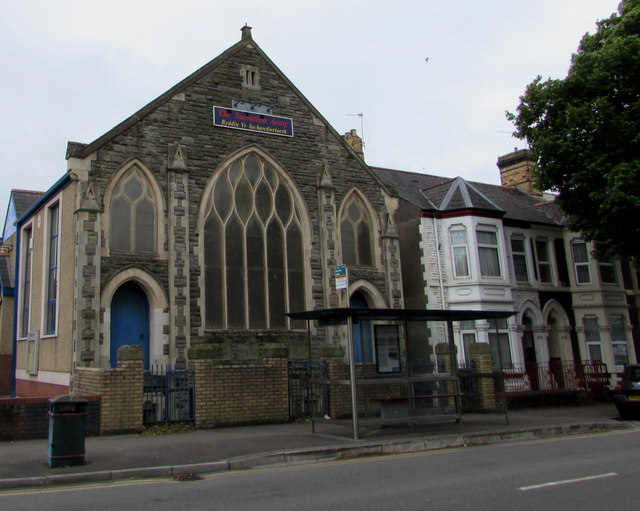
Image: © Jaggery Taken: 10 Jun 2017
The Corporation Road side of this http://www.geograph.org.uk/photo/5422842 church.
Images are licensed for reuse under creativecommons.org/licenses/by-sa/2.0
Image Location
Latitude
51.465809
Longitude
-3.176649