Old Track to Newton of Boysack
Introduction
The photograph on this page of Old Track to Newton of Boysack by Anne Burgess as part of the Geograph project.
The Geograph project started in 2005 with the aim of publishing, organising and preserving representative images for every square kilometre of Great Britain, Ireland and the Isle of Man.

There are currently over 7.5m images from over 14,400 individuals and you can help contribute to the project by visiting https://www.geograph.org.uk
Old Track to Newton of Boysack
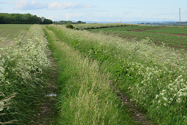
Image: © Anne Burgess Taken: 7 Jun 2017
The height of the grass shows that this track is no longer in use. I bet my satnav doesn't know that, though!
Images are licensed for reuse under creativecommons.org/licenses/by-sa/2.0
Image Location
Latitude
56.608664
Longitude
-2.653067