Circle on the Map
Introduction
The photograph on this page of Circle on the Map by Anne Burgess as part of the Geograph project.
The Geograph project started in 2005 with the aim of publishing, organising and preserving representative images for every square kilometre of Great Britain, Ireland and the Isle of Man.

There are currently over 7.5m images from over 14,400 individuals and you can help contribute to the project by visiting https://www.geograph.org.uk
Circle on the Map
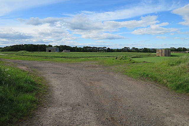
Image: © Anne Burgess Taken: 7 Jun 2017
The 1:50,000 and 1:25,000 maps both show the track circling round this field, so it's easy to relate the map to the view here.
Images are licensed for reuse under creativecommons.org/licenses/by-sa/2.0
Image Location
Latitude
56.591956
Longitude
-2.635355