Firth Muir of Boysack
Introduction
The photograph on this page of Firth Muir of Boysack by Anne Burgess as part of the Geograph project.
The Geograph project started in 2005 with the aim of publishing, organising and preserving representative images for every square kilometre of Great Britain, Ireland and the Isle of Man.

There are currently over 7.5m images from over 14,400 individuals and you can help contribute to the project by visiting https://www.geograph.org.uk
Firth Muir of Boysack
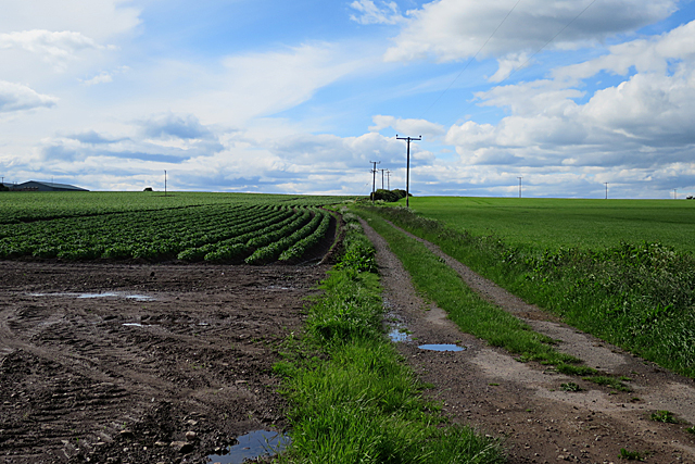
Image: © Anne Burgess Taken: 7 Jun 2017
The track crosses the Firth Muir and continues to Swirlburn. The roof at top left is at Boysackhill.
Images are licensed for reuse under creativecommons.org/licenses/by-sa/2.0
Image Location
Latitude
56.585219
Longitude
-2.652499