Tattie Depot
Introduction
The photograph on this page of Tattie Depot by Anne Burgess as part of the Geograph project.
The Geograph project started in 2005 with the aim of publishing, organising and preserving representative images for every square kilometre of Great Britain, Ireland and the Isle of Man.

There are currently over 7.5m images from over 14,400 individuals and you can help contribute to the project by visiting https://www.geograph.org.uk
Tattie Depot
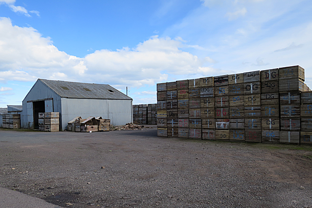
Image: © Anne Burgess Taken: 7 Jun 2017
The shed is flanked by a large stack of tattie boxes. The older maps name this spot as Woodend, but the modern maps don't name it at all.
Images are licensed for reuse under creativecommons.org/licenses/by-sa/2.0
Image Location
Latitude
56.579999
Longitude
-2.6542