Compton Bishop and Wavering Down
Introduction
The photograph on this page of Compton Bishop and Wavering Down by Sharon Loxton as part of the Geograph project.
The Geograph project started in 2005 with the aim of publishing, organising and preserving representative images for every square kilometre of Great Britain, Ireland and the Isle of Man.

There are currently over 7.5m images from over 14,400 individuals and you can help contribute to the project by visiting https://www.geograph.org.uk
Compton Bishop and Wavering Down
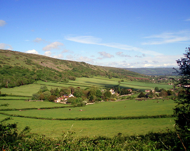
Image: © Sharon Loxton Taken: 7 May 2007
A view of the northern most houses of Compton Bishop and the southern slope of the Mendip hills (the closest area being Wavering Down). In the distance Axbridge reservoir can just be made out (a blue line top right of the photograph).
Images are licensed for reuse under creativecommons.org/licenses/by-sa/2.0
Image Location


Leaflet Map data © OpenStreetMap
Latitude
51.296129
Longitude
-2.867664