Farmland at Ysgubor-newydd
Introduction
The photograph on this page of Farmland at Ysgubor-newydd by Eric Jones as part of the Geograph project.
The Geograph project started in 2005 with the aim of publishing, organising and preserving representative images for every square kilometre of Great Britain, Ireland and the Isle of Man.

There are currently over 7.5m images from over 14,400 individuals and you can help contribute to the project by visiting https://www.geograph.org.uk
Farmland at Ysgubor-newydd
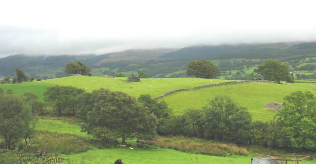
Image: © Eric Jones Taken: 31 Aug 2007
The photo also shows a ruined barn and a couple of field-clearance cairns.
Images are licensed for reuse under creativecommons.org/licenses/by-sa/2.0
Image Location


Leaflet Map data © OpenStreetMap
Latitude
52.78083
Longitude
-3.793912