Cut Bench Mark East Rounton Bridge
Introduction
The photograph on this page of Cut Bench Mark East Rounton Bridge by Michael Rye as part of the Geograph project.
The Geograph project started in 2005 with the aim of publishing, organising and preserving representative images for every square kilometre of Great Britain, Ireland and the Isle of Man.

There are currently over 7.5m images from over 14,400 individuals and you can help contribute to the project by visiting https://www.geograph.org.uk
Cut Bench Mark East Rounton Bridge
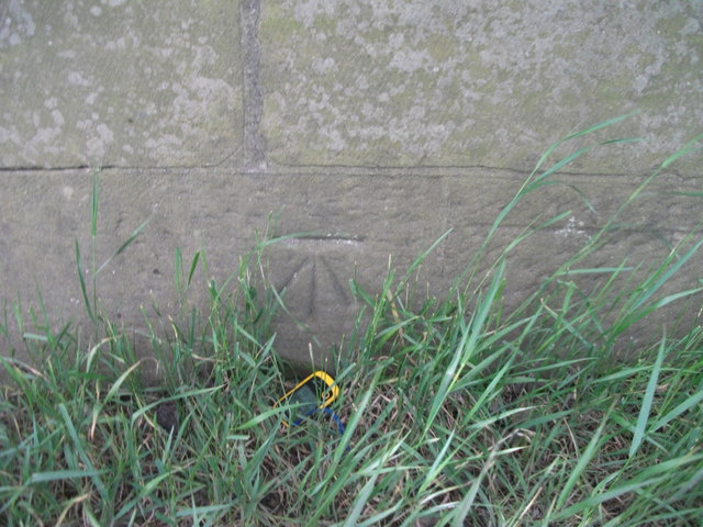
Image: © Michael Rye Taken: 7 Jun 2017
This Ordnance survey mark was used as part of the levelling process for the OS map of 1911. The height recorded was 188.8ft above the mean sea level at Liverpool.
Images are licensed for reuse under creativecommons.org/licenses/by-sa/2.0
Image Location
Latitude
54.422325
Longitude
-1.35175