Normansfield Ave
Introduction
The photograph on this page of Normansfield Ave by Emily Costigliola as part of the Geograph project.
The Geograph project started in 2005 with the aim of publishing, organising and preserving representative images for every square kilometre of Great Britain, Ireland and the Isle of Man.

There are currently over 7.5m images from over 14,400 individuals and you can help contribute to the project by visiting https://www.geograph.org.uk
Normansfield Ave
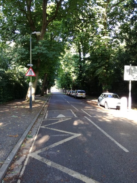
Image: © Emily Costigliola Taken: 7 Jun 2017
View of Normansfield Avenue taken from outside Hampton Wick Infant and nursery School
Images are licensed for reuse under creativecommons.org/licenses/by-sa/2.0
Image Location
Latitude
51.418561
Longitude
-0.311909