Fortuneswell, Lerret Road
Introduction
The photograph on this page of Fortuneswell, Lerret Road by David Dixon as part of the Geograph project.
The Geograph project started in 2005 with the aim of publishing, organising and preserving representative images for every square kilometre of Great Britain, Ireland and the Isle of Man.

There are currently over 7.5m images from over 14,400 individuals and you can help contribute to the project by visiting https://www.geograph.org.uk
Fortuneswell, Lerret Road
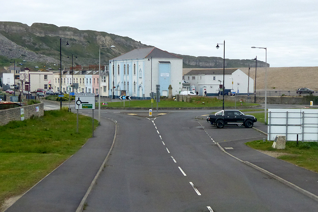
Image: © David Dixon Taken: 30 May 2017
Fortuneswell is a village on the Isle of Portland. It lies on steeply sloping land on the northern edge of the island, known as Underhill, where Chesil Beach, which connects the island to the mainland, joins the island. Fortuneswell has a main shopping street, and along with Easton, is the main hub of the Isle of Portland's activities.
Images are licensed for reuse under creativecommons.org/licenses/by-sa/2.0
Image Location
Latitude
50.564069
Longitude
-2.45034