The Broadway
Introduction
The photograph on this page of The Broadway by Simon Carey as part of the Geograph project.
The Geograph project started in 2005 with the aim of publishing, organising and preserving representative images for every square kilometre of Great Britain, Ireland and the Isle of Man.

There are currently over 7.5m images from over 14,400 individuals and you can help contribute to the project by visiting https://www.geograph.org.uk
The Broadway
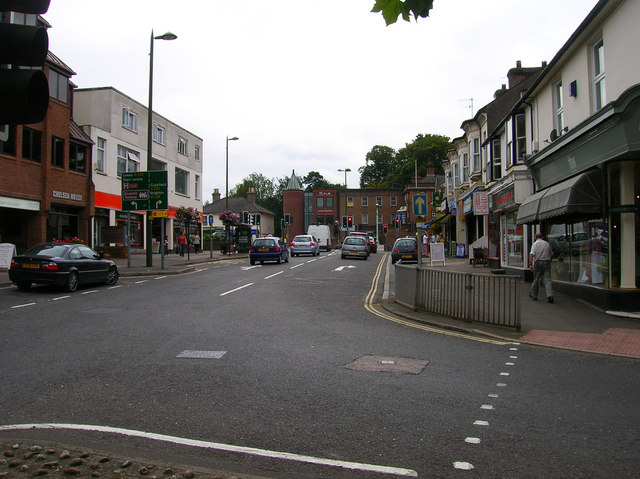
Image: © Simon Carey Taken: 30 Aug 2007
Originally developed in the early 1860s as Clifton Terrace a residential district but developed as a shopping street from the 1880s and renamed though the eastern side still retained a rural air until the beginning of the 19th century. Now part of the A272 one way syetem at the western end of the town. Taken from the junction with Dolphin Road looking towards South Road.
Images are licensed for reuse under creativecommons.org/licenses/by-sa/2.0
Image Location
Latitude
50.999593
Longitude
-0.106822