Old and new Sneinton
Introduction
The photograph on this page of Old and new Sneinton by John Sutton as part of the Geograph project.
The Geograph project started in 2005 with the aim of publishing, organising and preserving representative images for every square kilometre of Great Britain, Ireland and the Isle of Man.

There are currently over 7.5m images from over 14,400 individuals and you can help contribute to the project by visiting https://www.geograph.org.uk
Old and new Sneinton
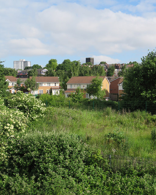
Image: © John Sutton Taken: 3 Jun 2017
Looking towards the smoke-blackened tower of St Stephen's Church (rebuilt in 1837) from the footbridge over the railway at Meadow Lane. The houses in the middle distance were built on abandoned railway land.
Images are licensed for reuse under creativecommons.org/licenses/by-sa/2.0
Image Location


Leaflet Map data © OpenStreetMap
Latitude
52.948262
Longitude
-1.130657