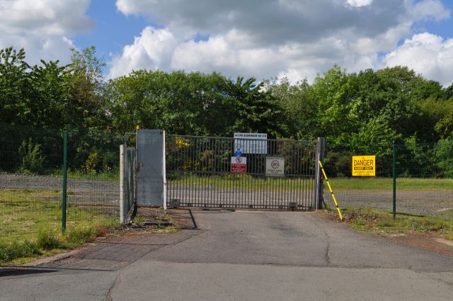
Whinnyhall Landfill Site
Introduction
The photograph on this page of Whinnyhall Landfill Site by Robert Struthers as part of the Geograph project.
The Geograph project started in 2005 with the aim of publishing, organising and preserving representative images for every square kilometre of Great Britain, Ireland and the Isle of Man.
There are currently over 7.5m images from over 14,400 individuals and you can help contribute to the project by visiting https://www.geograph.org.uk

Image: © Robert Struthers Taken: 4 Jun 2017
Whinnyhall was used to dump 'red mud', a bauxite residue left over from the aluminium works at Burntisland. The works closed in 2002 and the site, which was a source of pollution into nearby Kinghorn Loch, has since been capped and stabilised and the leachate collected, processed and diverted.

