Standing Stone Near Carsphairn
Introduction
The photograph on this page of Standing Stone Near Carsphairn by Mary and Angus Hogg as part of the Geograph project.
The Geograph project started in 2005 with the aim of publishing, organising and preserving representative images for every square kilometre of Great Britain, Ireland and the Isle of Man.

There are currently over 7.5m images from over 14,400 individuals and you can help contribute to the project by visiting https://www.geograph.org.uk
Standing Stone Near Carsphairn
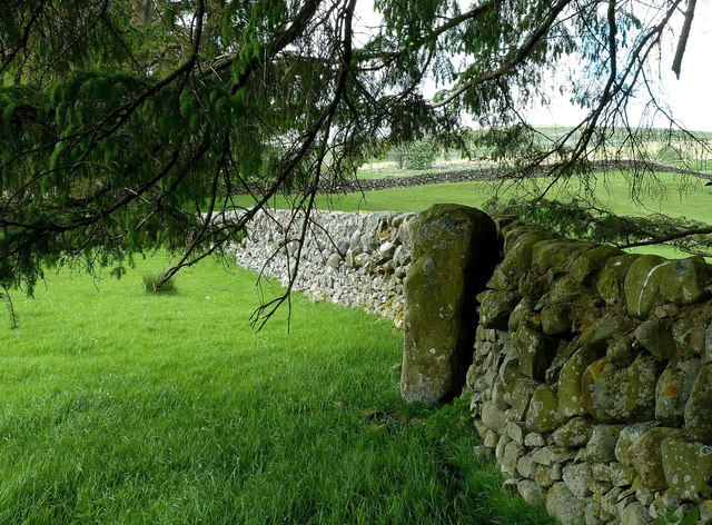
Image: © Mary and Angus Hogg Taken: 3 Jun 2017
This large, plain standing stone leans against a dry-stane dyke. The group of prehistoric features of this area indicates an ancient centre of population. The stone is close to a Caledonian Stone Circle Image and a Bronze Age burial cairn Image There's also a fine early Christian Cross-Slab, but this lies on private ground.
Images are licensed for reuse under creativecommons.org/licenses/by-sa/2.0
Image Location
Latitude
55.220785
Longitude
-4.274826