Field at Priestfield
Introduction
The photograph on this page of Field at Priestfield by Anne Burgess as part of the Geograph project.
The Geograph project started in 2005 with the aim of publishing, organising and preserving representative images for every square kilometre of Great Britain, Ireland and the Isle of Man.

There are currently over 7.5m images from over 14,400 individuals and you can help contribute to the project by visiting https://www.geograph.org.uk
Field at Priestfield
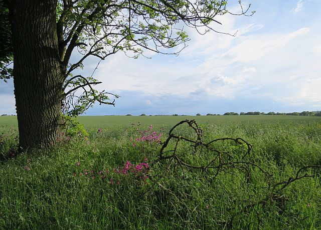
Image: © Anne Burgess Taken: 5 Jun 2017
A mature ash tree and some fallen twigs provide a frame for another featureless field of cereal crop.
Images are licensed for reuse under creativecommons.org/licenses/by-sa/2.0
Image Location
Latitude
56.62941
Longitude
-2.542261