Sneinton: up the entry
Introduction
The photograph on this page of Sneinton: up the entry by John Sutton as part of the Geograph project.
The Geograph project started in 2005 with the aim of publishing, organising and preserving representative images for every square kilometre of Great Britain, Ireland and the Isle of Man.

There are currently over 7.5m images from over 14,400 individuals and you can help contribute to the project by visiting https://www.geograph.org.uk
Sneinton: up the entry
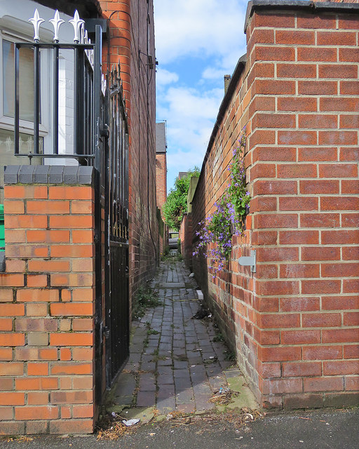
Image: © John Sutton Taken: 3 Jun 2017
Campanula growing in the wall of the passage behind houses on the south side of Sneinton Dale. The house on the left is the first one on Trent Road.
Images are licensed for reuse under creativecommons.org/licenses/by-sa/2.0
Image Location
Latitude
52.951738
Longitude
-1.126568