Sneinton Road: contrasts
Introduction
The photograph on this page of Sneinton Road: contrasts by John Sutton as part of the Geograph project.
The Geograph project started in 2005 with the aim of publishing, organising and preserving representative images for every square kilometre of Great Britain, Ireland and the Isle of Man.

There are currently over 7.5m images from over 14,400 individuals and you can help contribute to the project by visiting https://www.geograph.org.uk
Sneinton Road: contrasts
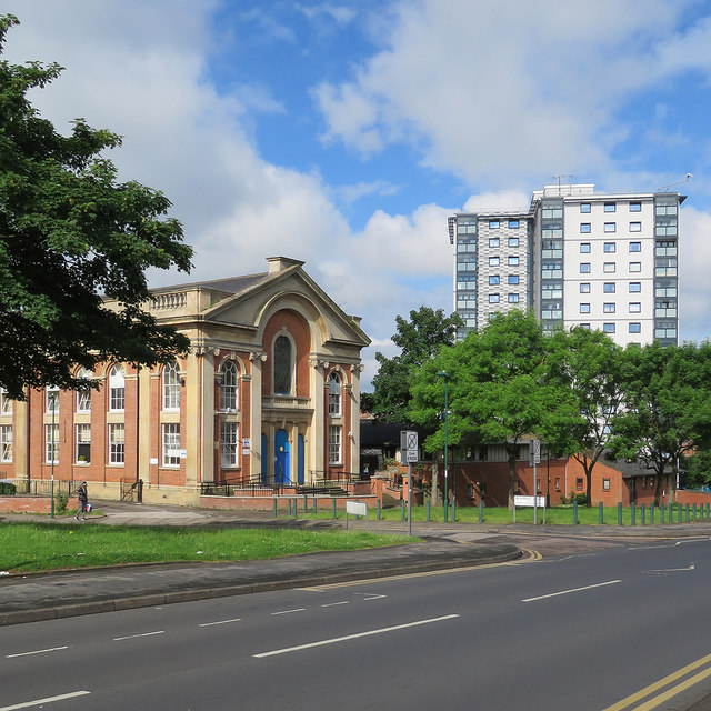
Image: © John Sutton Taken: 3 Jun 2017
On the left is the former Albion Congregational Church (1856). Further away are the high-rise Bentinck Court flats, built by Nottingham City Council.
Images are licensed for reuse under creativecommons.org/licenses/by-sa/2.0
Image Location
Latitude
52.952797
Longitude
-1.136073