Roundabout in Southville, Cwmbran
Introduction
The photograph on this page of Roundabout in Southville, Cwmbran by Jaggery as part of the Geograph project.
The Geograph project started in 2005 with the aim of publishing, organising and preserving representative images for every square kilometre of Great Britain, Ireland and the Isle of Man.

There are currently over 7.5m images from over 14,400 individuals and you can help contribute to the project by visiting https://www.geograph.org.uk
Roundabout in Southville, Cwmbran
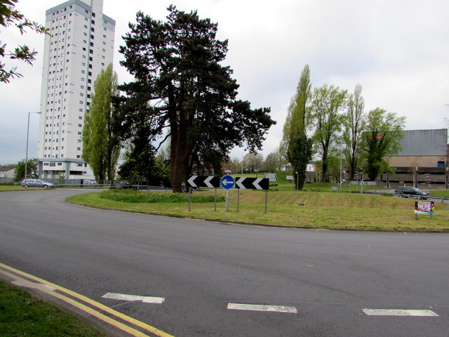
Image: © Jaggery Taken: 14 Apr 2017
In the middle of the junction of St Davids Road and Tudor Road. Cwmbran's tallest building, Bron Afon Housing Association's The Tower Block, is in the background.
Images are licensed for reuse under creativecommons.org/licenses/by-sa/2.0
Image Location
Latitude
51.651706
Longitude
-3.018841