Farmland near Parkhill
Introduction
The photograph on this page of Farmland near Parkhill by Anne Burgess as part of the Geograph project.
The Geograph project started in 2005 with the aim of publishing, organising and preserving representative images for every square kilometre of Great Britain, Ireland and the Isle of Man.

There are currently over 7.5m images from over 14,400 individuals and you can help contribute to the project by visiting https://www.geograph.org.uk
Farmland near Parkhill
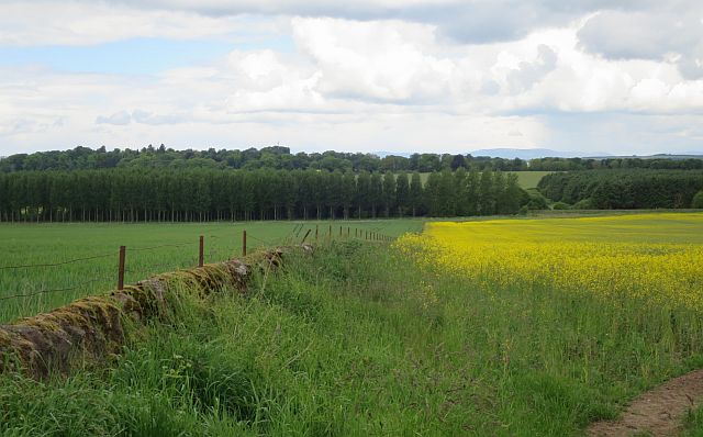
Image: © Anne Burgess Taken: 4 Jun 2017
An old dyke separates cereal from a field of rape. The poplars at the far side of the field are in the next square.
Images are licensed for reuse under creativecommons.org/licenses/by-sa/2.0
Image Location
Latitude
56.604289
Longitude
-2.574804