Bible Christian Chapel, Haselbury Plucknett
Introduction
The photograph on this page of Bible Christian Chapel, Haselbury Plucknett by Derek Harper as part of the Geograph project.
The Geograph project started in 2005 with the aim of publishing, organising and preserving representative images for every square kilometre of Great Britain, Ireland and the Isle of Man.

There are currently over 7.5m images from over 14,400 individuals and you can help contribute to the project by visiting https://www.geograph.org.uk
Bible Christian Chapel, Haselbury Plucknett
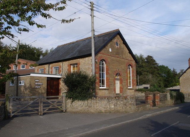
Image: © Derek Harper Taken: 30 Aug 2007
The chapel dates from about 1890, but there is a recent addition; the gable end of the 2002 Bible Christian Centre can just be seen on the left. This is at the eastern end of Puddletown, which forms the western part of the village.
Images are licensed for reuse under creativecommons.org/licenses/by-sa/2.0
Image Location
Latitude
50.893855
Longitude
-2.75836