Sneinton: changes in Eyre Street
Introduction
The photograph on this page of Sneinton: changes in Eyre Street by John Sutton as part of the Geograph project.
The Geograph project started in 2005 with the aim of publishing, organising and preserving representative images for every square kilometre of Great Britain, Ireland and the Isle of Man.

There are currently over 7.5m images from over 14,400 individuals and you can help contribute to the project by visiting https://www.geograph.org.uk
Sneinton: changes in Eyre Street
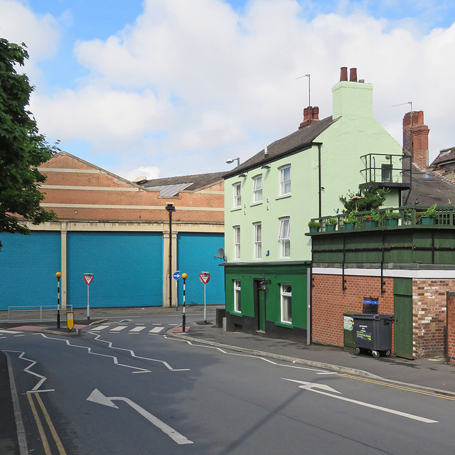
Image: © John Sutton Taken: 3 Jun 2017
Since I took Image] in April 2016 The King William IV public house has closed and changed colour.
Images are licensed for reuse under creativecommons.org/licenses/by-sa/2.0
Image Location
Latitude
52.952892
Longitude
-1.136815