House in Cwm Philkins
Introduction
The photograph on this page of House in Cwm Philkins by M J Roscoe as part of the Geograph project.
The Geograph project started in 2005 with the aim of publishing, organising and preserving representative images for every square kilometre of Great Britain, Ireland and the Isle of Man.

There are currently over 7.5m images from over 14,400 individuals and you can help contribute to the project by visiting https://www.geograph.org.uk
House in Cwm Philkins
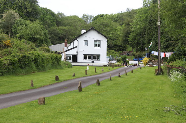
Image: © M J Roscoe Taken: 3 Jun 2017
House in valley at the end of a private road; a plaque on the wall says, '1911'. A public footpath runs along the road to a field Image
Images are licensed for reuse under creativecommons.org/licenses/by-sa/2.0
Image Location
Latitude
51.666971
Longitude
-3.175058