Lowfield Road
Introduction
The photograph on this page of Lowfield Road by Simon Carey as part of the Geograph project.
The Geograph project started in 2005 with the aim of publishing, organising and preserving representative images for every square kilometre of Great Britain, Ireland and the Isle of Man.

There are currently over 7.5m images from over 14,400 individuals and you can help contribute to the project by visiting https://www.geograph.org.uk
Lowfield Road
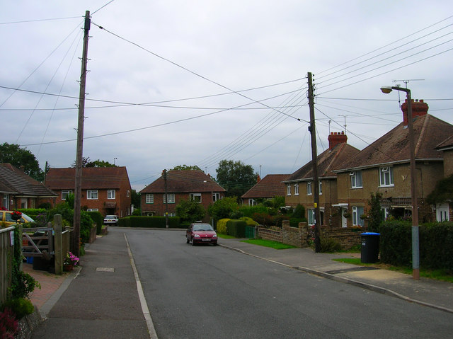
Image: © Simon Carey Taken: 30 Aug 2007
The houses to the right were completed in the late 1940s whilst the bungalows to the left were constructed a little later. The road was until the late 1980s a private road and thus unmade. Taken from the junction with Highlands Road.
Images are licensed for reuse under creativecommons.org/licenses/by-sa/2.0
Image Location
Latitude
50.992594
Longitude
-0.096705