Croxton Lane
Introduction
The photograph on this page of Croxton Lane by Simon Carey as part of the Geograph project.
The Geograph project started in 2005 with the aim of publishing, organising and preserving representative images for every square kilometre of Great Britain, Ireland and the Isle of Man.

There are currently over 7.5m images from over 14,400 individuals and you can help contribute to the project by visiting https://www.geograph.org.uk
Croxton Lane
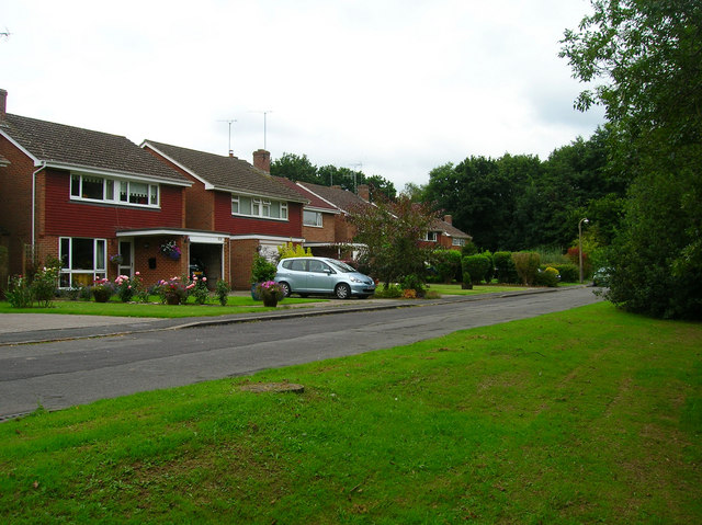
Image: © Simon Carey Taken: 30 Aug 2007
Small cul de sac on the border of Haywards Heath and Lindfield at the eastern end of Scase Valley Nature Reserve. Built sometime in the 1960s.
Images are licensed for reuse under creativecommons.org/licenses/by-sa/2.0
Image Location
Latitude
51.005645
Longitude
-0.080918