Sewer Pipes, Scrase Valley Nature Reserve
Introduction
The photograph on this page of Sewer Pipes, Scrase Valley Nature Reserve by Simon Carey as part of the Geograph project.
The Geograph project started in 2005 with the aim of publishing, organising and preserving representative images for every square kilometre of Great Britain, Ireland and the Isle of Man.

There are currently over 7.5m images from over 14,400 individuals and you can help contribute to the project by visiting https://www.geograph.org.uk
Sewer Pipes, Scrase Valley Nature Reserve
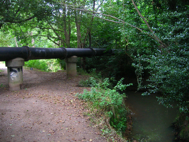
Image: © Simon Carey Taken: 30 Aug 2007
The pipes cross over the flood plain of Scrase Stream a tributary of the River Ouse and the stream itself possibly due to the wet nature of the ground. The reserve consists of around 9 acres of mostly wetland and woodland and provides a green barrier between Haywards Heath and Lindfield.
Images are licensed for reuse under creativecommons.org/licenses/by-sa/2.0
Image Location
Latitude
51.005179
Longitude
-0.085356