View SSW along Slievehanny Road
Introduction
The photograph on this page of View SSW along Slievehanny Road by Eric Jones as part of the Geograph project.
The Geograph project started in 2005 with the aim of publishing, organising and preserving representative images for every square kilometre of Great Britain, Ireland and the Isle of Man.

There are currently over 7.5m images from over 14,400 individuals and you can help contribute to the project by visiting https://www.geograph.org.uk
View SSW along Slievehanny Road
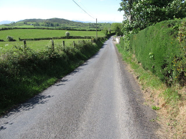
Image: © Eric Jones Taken: 19 May 2016
This is part of the northern section of the road. The high ground in the middle ground are Slievehanny and Clonvaraghan mountains. In the far distance are the peaks of the High Mournes.
Images are licensed for reuse under creativecommons.org/licenses/by-sa/2.0
Image Location
Latitude
54.309497
Longitude
-5.949468