Public Footpath to Scaws and Beacon Edge
Introduction
The photograph on this page of Public Footpath to Scaws and Beacon Edge by Chris Upson as part of the Geograph project.
The Geograph project started in 2005 with the aim of publishing, organising and preserving representative images for every square kilometre of Great Britain, Ireland and the Isle of Man.

There are currently over 7.5m images from over 14,400 individuals and you can help contribute to the project by visiting https://www.geograph.org.uk
Public Footpath to Scaws and Beacon Edge
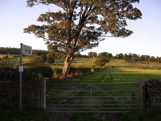
Image: © Chris Upson Taken: 16 Sep 2005
Fields on the edge of Penrith that have somehow still escaped the property developer.
Images are licensed for reuse under creativecommons.org/licenses/by-sa/2.0
Image Location
Latitude
54.664695
Longitude
-2.727075