Little Lodge Field (2)
Introduction
The photograph on this page of Little Lodge Field (2) by Simon Carey as part of the Geograph project.
The Geograph project started in 2005 with the aim of publishing, organising and preserving representative images for every square kilometre of Great Britain, Ireland and the Isle of Man.

There are currently over 7.5m images from over 14,400 individuals and you can help contribute to the project by visiting https://www.geograph.org.uk
Little Lodge Field (2)
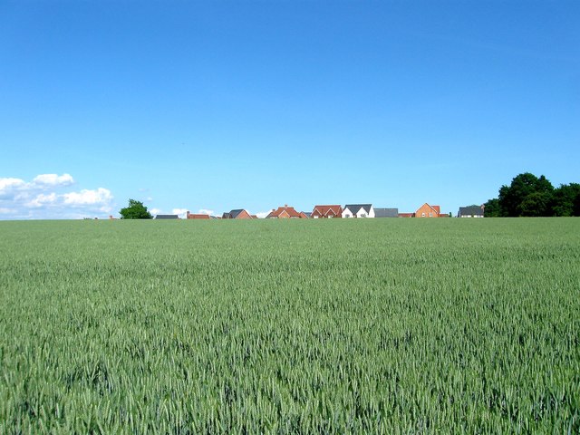
Image: © Simon Carey Taken: 1 Jun 2017
The name of the field according to Henfield's 1844 tithe map. This another view of Image this time looking east towards the recently built Deer Park estate. One wonders how long before this field is developed.
Images are licensed for reuse under creativecommons.org/licenses/by-sa/2.0
Image Location
Latitude
50.936632
Longitude
-0.280744