Field at Kimbolton
Introduction
The photograph on this page of Field at Kimbolton by Philip Halling as part of the Geograph project.
The Geograph project started in 2005 with the aim of publishing, organising and preserving representative images for every square kilometre of Great Britain, Ireland and the Isle of Man.

There are currently over 7.5m images from over 14,400 individuals and you can help contribute to the project by visiting https://www.geograph.org.uk
Field at Kimbolton
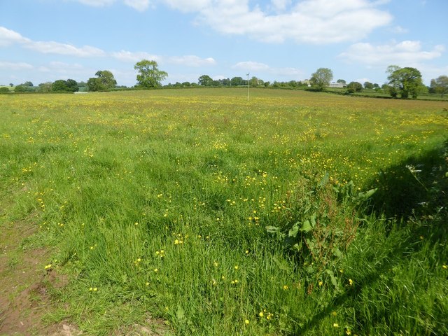
Image: © Philip Halling Taken: 25 May 2017
Buttercups and spring grass growth in a field at Kimbolton.
Images are licensed for reuse under creativecommons.org/licenses/by-sa/2.0
Image Location


Leaflet Map data © OpenStreetMap
Latitude
52.25156
Longitude
-2.687553