Upper Bannerdown
Introduction
The photograph on this page of Upper Bannerdown by HelenK as part of the Geograph project.
The Geograph project started in 2005 with the aim of publishing, organising and preserving representative images for every square kilometre of Great Britain, Ireland and the Isle of Man.

There are currently over 7.5m images from over 14,400 individuals and you can help contribute to the project by visiting https://www.geograph.org.uk
Upper Bannerdown
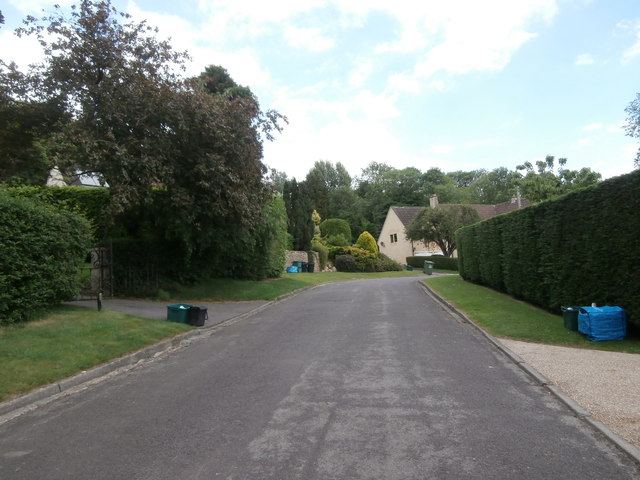
Image: © HelenK Taken: 1 Jun 2017
This is a secluded loop of road at the north-eastern extremity of Batheaston. There is no pavement and some of the houses, such as that on the right, are screened behind thick, high hedges lest any passer-by enjoy the sight of their gardens. Others, such as that at the far end, have indulged in a little topiary.
Images are licensed for reuse under creativecommons.org/licenses/by-sa/2.0
Image Location
Latitude
51.411249
Longitude
-2.306639