#29 Hough Top, 'The Coach House'
Introduction
The photograph on this page of #29 Hough Top, 'The Coach House' by Roger Templeman as part of the Geograph project.
The Geograph project started in 2005 with the aim of publishing, organising and preserving representative images for every square kilometre of Great Britain, Ireland and the Isle of Man.

There are currently over 7.5m images from over 14,400 individuals and you can help contribute to the project by visiting https://www.geograph.org.uk
#29 Hough Top, 'The Coach House'
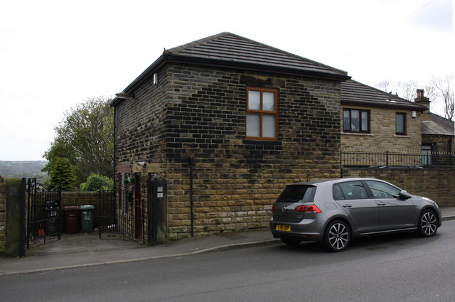
Image: © Roger Templeman Taken: 11 Apr 2017
There is an OS benchmark Image on the 5th stone right of the gate and 2nd above the pavement.
Images are licensed for reuse under creativecommons.org/licenses/by-sa/2.0
Image Location
Latitude
53.797812
Longitude
-1.642129