View across the upper reaches of the valley towards Slieve Croob
Introduction
The photograph on this page of View across the upper reaches of the valley towards Slieve Croob by Eric Jones as part of the Geograph project.
The Geograph project started in 2005 with the aim of publishing, organising and preserving representative images for every square kilometre of Great Britain, Ireland and the Isle of Man.

There are currently over 7.5m images from over 14,400 individuals and you can help contribute to the project by visiting https://www.geograph.org.uk
View across the upper reaches of the valley towards Slieve Croob
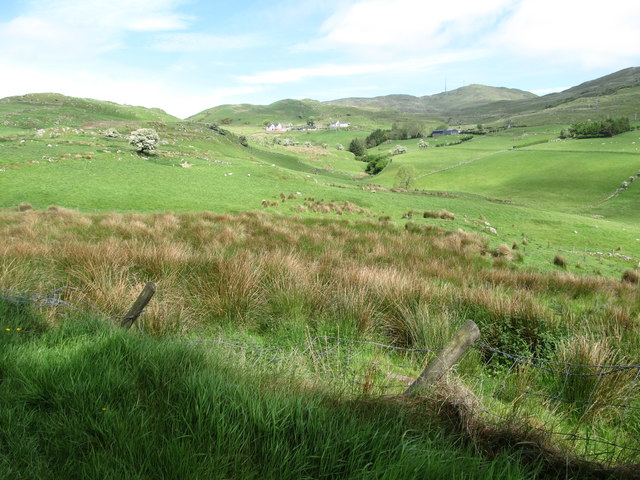
Image: © Eric Jones Taken: 19 May 2016
Slieve Croob is easily identifiable from the telecommunications masts on its summit. The houses are on Clonvaraghan Road. The stream, not named on the map, is a tributary of the Moneycarragh River. The image was taken from the Ardglass Road.
Images are licensed for reuse under creativecommons.org/licenses/by-sa/2.0
Image Location
Latitude
54.3234
Longitude
-5.9746