The way to Poets' Corner
Introduction
The photograph on this page of The way to Poets' Corner by HelenK as part of the Geograph project.
The Geograph project started in 2005 with the aim of publishing, organising and preserving representative images for every square kilometre of Great Britain, Ireland and the Isle of Man.

There are currently over 7.5m images from over 14,400 individuals and you can help contribute to the project by visiting https://www.geograph.org.uk
The way to Poets' Corner
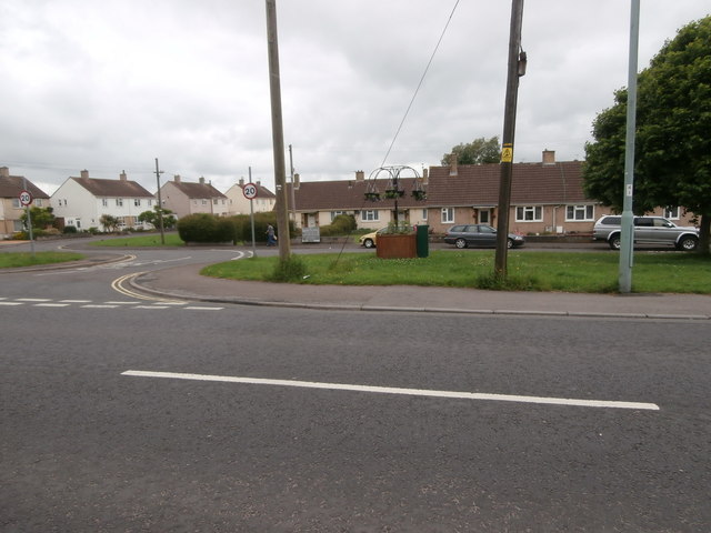
Image: © HelenK Taken: 31 May 2017
The street which runs parallel to the main A367 Wells Road is Wesley Road, doubtless named for the nearby Methodist church. Beyond it are Wesley Avenue as well as Shakespeare Road, Milton Road and Ruskin Road.
Images are licensed for reuse under creativecommons.org/licenses/by-sa/2.0
Image Location
Latitude
51.285821
Longitude
-2.467835