Towards Padstow
Introduction
The photograph on this page of Towards Padstow by Derek Harper as part of the Geograph project.
The Geograph project started in 2005 with the aim of publishing, organising and preserving representative images for every square kilometre of Great Britain, Ireland and the Isle of Man.

There are currently over 7.5m images from over 14,400 individuals and you can help contribute to the project by visiting https://www.geograph.org.uk
Towards Padstow
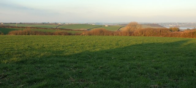
Image: © Derek Harper Taken: 20 Jan 2017
Looking NNE from where Image] was taken, across the Credis Creek valley and farmland. The obelisk shown in Image] is over on the right beside a glimpse of the Camel estuary.
Images are licensed for reuse under creativecommons.org/licenses/by-sa/2.0
Image Location


Leaflet Map data © OpenStreetMap
Latitude
50.517282
Longitude
-4.947136