East Skelston and West Skelston from the air
Introduction
The photograph on this page of East Skelston and West Skelston from the air by Thomas Nugent as part of the Geograph project.
The Geograph project started in 2005 with the aim of publishing, organising and preserving representative images for every square kilometre of Great Britain, Ireland and the Isle of Man.

There are currently over 7.5m images from over 14,400 individuals and you can help contribute to the project by visiting https://www.geograph.org.uk
East Skelston and West Skelston from the air
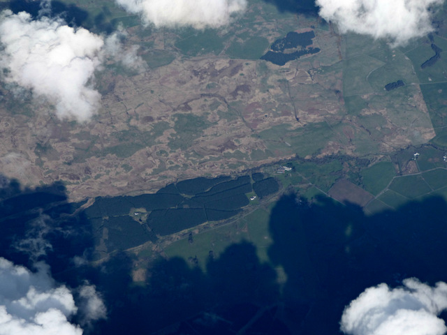
Image: © Thomas Nugent Taken: 17 Apr 2017
The cottages are in the centre of the photo, Glenview can also be seen in a clearance in the forest.
Images are licensed for reuse under creativecommons.org/licenses/by-sa/2.0
Image Location
Latitude
55.149848
Longitude
-3.845314