The Slievehanny Road junction on Wood Road
Introduction
The photograph on this page of The Slievehanny Road junction on Wood Road by Eric Jones as part of the Geograph project.
The Geograph project started in 2005 with the aim of publishing, organising and preserving representative images for every square kilometre of Great Britain, Ireland and the Isle of Man.

There are currently over 7.5m images from over 14,400 individuals and you can help contribute to the project by visiting https://www.geograph.org.uk
The Slievehanny Road junction on Wood Road
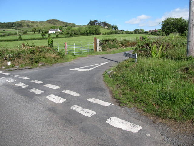
Image: © Eric Jones Taken: 19 May 2016
Wood Road runs parallel with Clarkhill/Leitrim River on the north side of the valley. Slievehanny Road climbs over the interfluve.
Images are licensed for reuse under creativecommons.org/licenses/by-sa/2.0
Image Location
Latitude
54.291005
Longitude
-5.934721