Junction for Mudford Sock
Introduction
The photograph on this page of Junction for Mudford Sock by Derek Harper as part of the Geograph project.
The Geograph project started in 2005 with the aim of publishing, organising and preserving representative images for every square kilometre of Great Britain, Ireland and the Isle of Man.

There are currently over 7.5m images from over 14,400 individuals and you can help contribute to the project by visiting https://www.geograph.org.uk
Junction for Mudford Sock
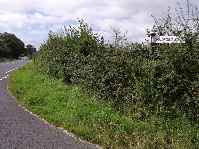
Image: © Derek Harper Taken: 30 Aug 2007
One of Somerset's many alluring placenames is celebrated on this signpost, where Sock Lane leaves the A359, which can be seen continuing towards Yeovil. "Sock" is "probably an area of marsh or streams" http://webapp1.somerset.gov.uk/her/details.asp?prn=53044 and Mudford seems fairly self-explanatory.
Images are licensed for reuse under creativecommons.org/licenses/by-sa/2.0
Image Location
Latitude
50.968073
Longitude
-2.615732