Scaur Water from the air
Introduction
The photograph on this page of Scaur Water from the air by Thomas Nugent as part of the Geograph project.
The Geograph project started in 2005 with the aim of publishing, organising and preserving representative images for every square kilometre of Great Britain, Ireland and the Isle of Man.

There are currently over 7.5m images from over 14,400 individuals and you can help contribute to the project by visiting https://www.geograph.org.uk
Scaur Water from the air
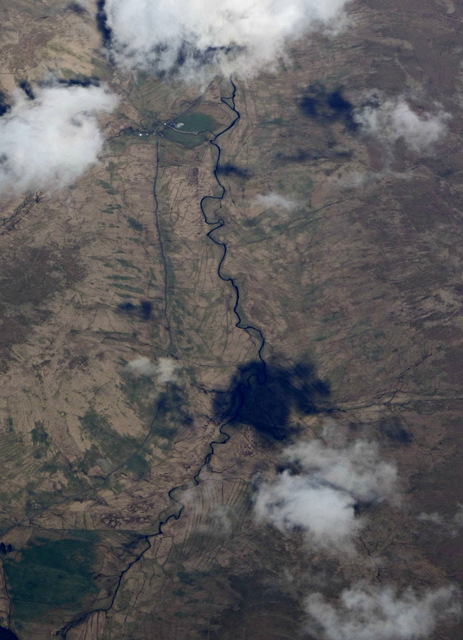
Image: © Thomas Nugent Taken: 17 Apr 2017
Polgown can be seen near the top of the photo. The Southern Upland Way follows the road to the left of the river.
Images are licensed for reuse under creativecommons.org/licenses/by-sa/2.0
Image Location
Latitude
55.301114
Longitude
-4.047834