New estate at Yeovil
Introduction
The photograph on this page of New estate at Yeovil by Derek Harper as part of the Geograph project.
The Geograph project started in 2005 with the aim of publishing, organising and preserving representative images for every square kilometre of Great Britain, Ireland and the Isle of Man.

There are currently over 7.5m images from over 14,400 individuals and you can help contribute to the project by visiting https://www.geograph.org.uk
New estate at Yeovil
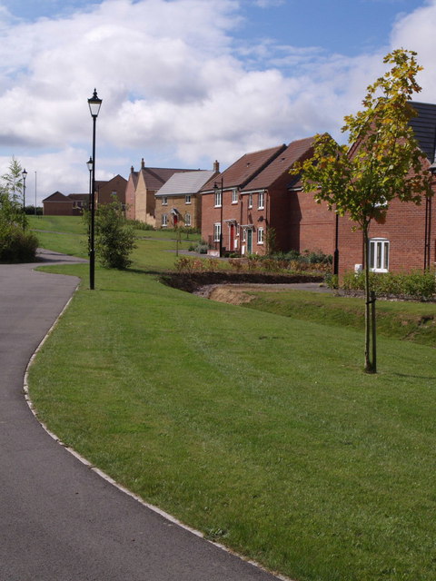
Image: © Derek Harper Taken: 30 Aug 2007
A pathway winds past houses on Biddlesden Road, part of a recent development northwest of Yeovil.
Images are licensed for reuse under creativecommons.org/licenses/by-sa/2.0
Image Location
Latitude
50.954295
Longitude
-2.668369