Lamplight Gardens
Introduction
The photograph on this page of Lamplight Gardens by John Baker as part of the Geograph project.
The Geograph project started in 2005 with the aim of publishing, organising and preserving representative images for every square kilometre of Great Britain, Ireland and the Isle of Man.

There are currently over 7.5m images from over 14,400 individuals and you can help contribute to the project by visiting https://www.geograph.org.uk
Lamplight Gardens
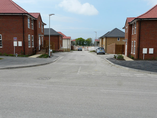
Image: © John Baker Taken: 7 May 2017
My previous visit to Image showed the house, on the right, partly hidden behind plastic sheeting. Now there are plants at the front and a car parked in a nearby bay. However, houses are still being erected at the far end of the road. The development is part of the Aylesham Garden Village project http://www.ayleshamgardenvillage.co.uk/
Images are licensed for reuse under creativecommons.org/licenses/by-sa/2.0
Image Location
Latitude
51.23065
Longitude
1.198056