Talisker
Introduction
The photograph on this page of Talisker by Anne Burgess as part of the Geograph project.
The Geograph project started in 2005 with the aim of publishing, organising and preserving representative images for every square kilometre of Great Britain, Ireland and the Isle of Man.

There are currently over 7.5m images from over 14,400 individuals and you can help contribute to the project by visiting https://www.geograph.org.uk
Talisker
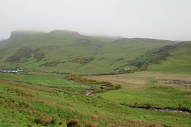
Image: © Anne Burgess Taken: 24 May 2017
On the left are some of the buildings at Talisker Farm. To the right is a house, unnamed on the maps, on the far side of the glen. The cliffs rise to Cnoc na h-Eighich.
Images are licensed for reuse under creativecommons.org/licenses/by-sa/2.0
Image Location


Leaflet Map data © OpenStreetMap
Latitude
57.290656
Longitude
-6.440968