Footpath, Benfleet Marsh
Introduction
The photograph on this page of Footpath, Benfleet Marsh by Robin Webster as part of the Geograph project.
The Geograph project started in 2005 with the aim of publishing, organising and preserving representative images for every square kilometre of Great Britain, Ireland and the Isle of Man.

There are currently over 7.5m images from over 14,400 individuals and you can help contribute to the project by visiting https://www.geograph.org.uk
Footpath, Benfleet Marsh
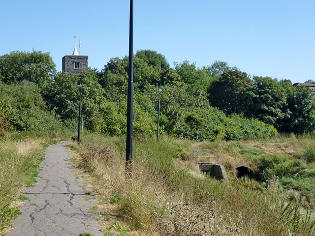
Image: © Robin Webster Taken: 11 Sep 2016
A left turn ahead for the High Road and church, a right for Benfleet Creek and station.
Images are licensed for reuse under creativecommons.org/licenses/by-sa/2.0
Image Location
Latitude
51.546361
Longitude
0.560941