Junction at Whitehill
Introduction
The photograph on this page of Junction at Whitehill by Derek Harper as part of the Geograph project.
The Geograph project started in 2005 with the aim of publishing, organising and preserving representative images for every square kilometre of Great Britain, Ireland and the Isle of Man.

There are currently over 7.5m images from over 14,400 individuals and you can help contribute to the project by visiting https://www.geograph.org.uk
Junction at Whitehill
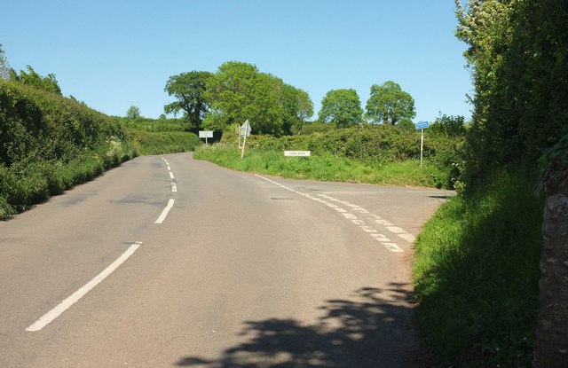
Image: © Derek Harper Taken: 25 May 2017
A further junction, just 100 metres up Stoke Road from Image] and close to the caravan site entrance. Long Road, the turning on the right, leads to Lower Yalberton and South Devon College, and at about two and a third kilometres, is not especially long.
Images are licensed for reuse under creativecommons.org/licenses/by-sa/2.0
Image Location


Leaflet Map data © OpenStreetMap
Latitude
50.417929
Longitude
-3.608804