Footpath at Barmby on the Marsh
Introduction
The photograph on this page of Footpath at Barmby on the Marsh by Jonathan Thacker as part of the Geograph project.
The Geograph project started in 2005 with the aim of publishing, organising and preserving representative images for every square kilometre of Great Britain, Ireland and the Isle of Man.

There are currently over 7.5m images from over 14,400 individuals and you can help contribute to the project by visiting https://www.geograph.org.uk
Footpath at Barmby on the Marsh
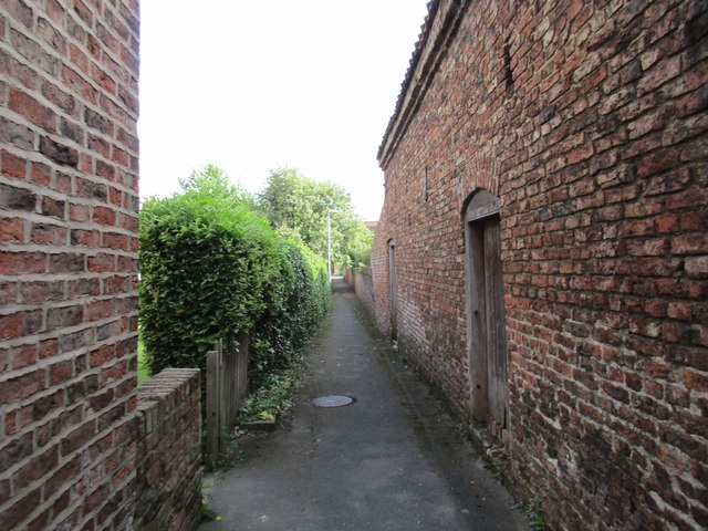
Image: © Jonathan Thacker Taken: 28 May 2017
Links North Street with High Street. Barmby on the Marsh is a good example of a village with a principal street and parallel streets giving access to the rear of properties on the principal street and with linking footpaths. Other good examples include Wheldrake and Wetwang. In all three examples development has to some extent obscured the original plan.
Images are licensed for reuse under creativecommons.org/licenses/by-sa/2.0
Image Location
Latitude
53.749216
Longitude
-0.955436