Bridlepath on The Cliffe
Introduction
The photograph on this page of Bridlepath on The Cliffe by John Haynes as part of the Geograph project.
The Geograph project started in 2005 with the aim of publishing, organising and preserving representative images for every square kilometre of Great Britain, Ireland and the Isle of Man.

There are currently over 7.5m images from over 14,400 individuals and you can help contribute to the project by visiting https://www.geograph.org.uk
Bridlepath on The Cliffe
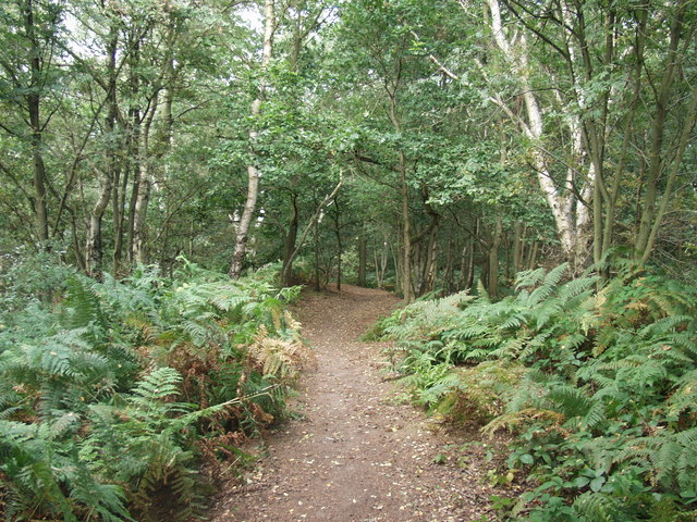
Image: © John Haynes Taken: 30 Aug 2007
Path through the trees to the top. The birch scrub should not be here as this is heathland. The trees have been allowed to develop as livestock have been kept off the hill. They are now being removed by felling the large ones and brushing any regrowth.
Images are licensed for reuse under creativecommons.org/licenses/by-sa/2.0
Image Location
Latitude
52.781542
Longitude
-2.899885