The Ballyvesey Road (old line) near Glengormley (May 2017)
Introduction
The photograph on this page of The Ballyvesey Road (old line) near Glengormley (May 2017) by Albert Bridge as part of the Geograph project.
The Geograph project started in 2005 with the aim of publishing, organising and preserving representative images for every square kilometre of Great Britain, Ireland and the Isle of Man.

There are currently over 7.5m images from over 14,400 individuals and you can help contribute to the project by visiting https://www.geograph.org.uk
The Ballyvesey Road (old line) near Glengormley (May 2017)
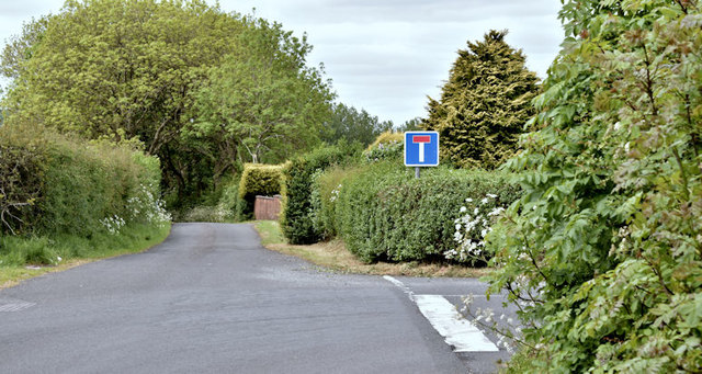
Image: © Albert Bridge Taken: 28 May 2017
See Image The construction of the Sandyknowes – Templepatrick section of the M2 (opened in 1975) meant the closure of part of the Ballyvesey Road. This section, now stopped-up and used for local access only, is at the corner of the Ballycraigy Road South (right) Image
Images are licensed for reuse under creativecommons.org/licenses/by-sa/2.0
Image Location
Latitude
54.69134
Longitude
-6.001754